How to Plan Mountain Property Access and View Clearing
Home › Blog › How to Plan Mountain Property Access and View Clearing
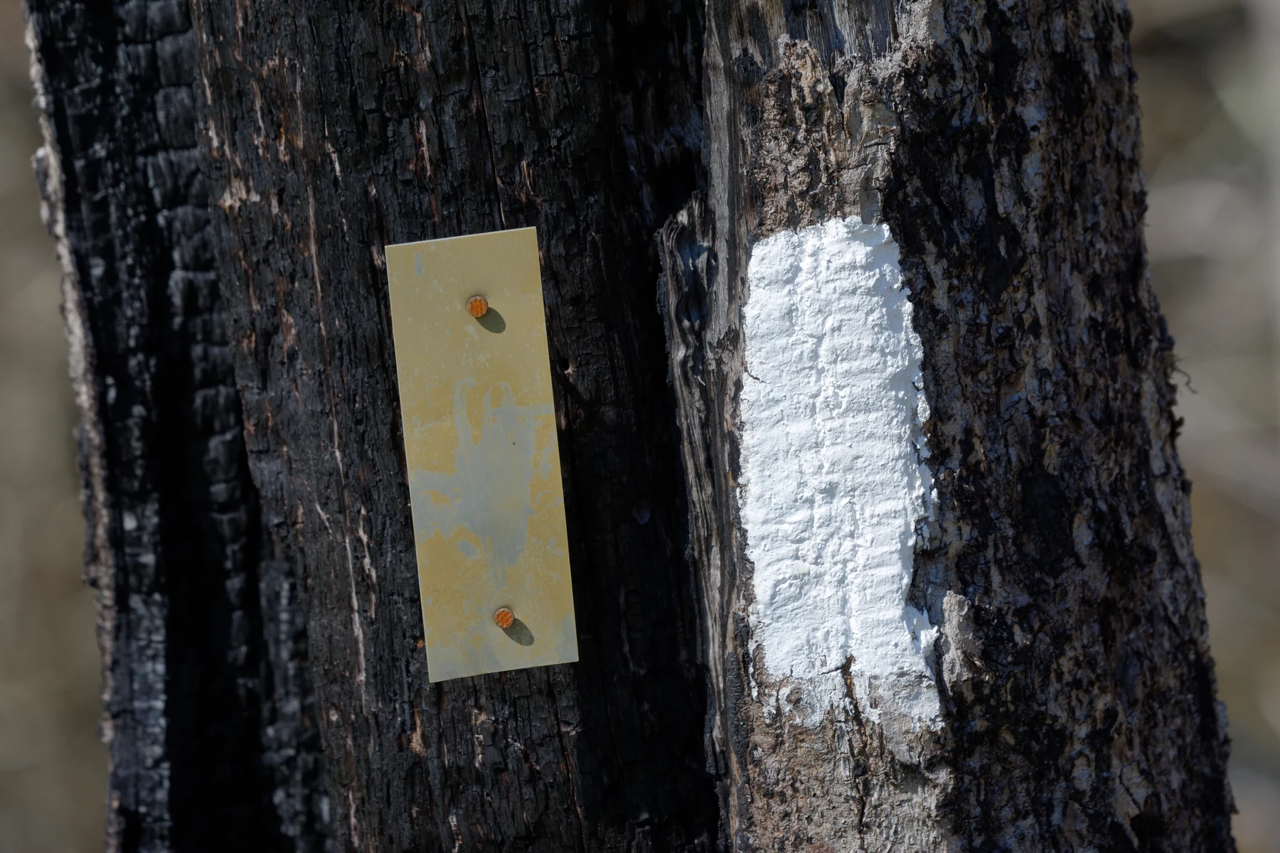
Access and views become easier to discuss when each request has a starting point, destination, boundary, and clearly stated purpose.
Begin at the place where the property is already usable
Mountain-property plans can feel abstract when the desired area lies beyond dense growth. Begin from a point you can identify confidently: the road entrance, an existing drive, a home, a porch, an open yard, or another accessible area. From there, describe the direction and destination. An access request needs a beginning and an end. A view request needs a viewing point and a sightline. Those anchors make photographs and maps much more useful.
Avoid turning the first request into a solution for every acre. The immediate goal might be to reach an interior section so the owner can understand it better. It might be to reopen an existing corridor or review the vegetation in front of one viewing area. Defining that first useful change keeps the scope manageable. It also leaves room to discuss whether the work fits right-of-way clearing, forestry mulching, tree thinning, view clearing, or a combination of those verified Flowers Forestry Mulching services.
Map routes and sightlines as separate zones
Access and views may overlap, but they are not the same shape. A route follows a corridor through the property. A view opens outward from a particular point. Draw them separately on a map, even if one is needed to reach the other. Label the route from entrance to destination, then mark the viewing point and direction. If the property contains a fence line or potential lot area, give those zones their own labels as well.
This simple map does not need to be a survey or construction plan. It is a communication tool for the estimate conversation. Legal boundaries, easements, and authority to request work must still be confirmed separately. The map should also identify known retain areas: screening between properties, trees the owner values, occupied areas, and wooded sections that are not part of the request. By showing what is outside the project, the owner reduces the risk of a broad idea being mistaken for whole-property clearing.
Set realistic expectations for a view-clearing conversation
A desired view should be described honestly. Note where a person will stand, the direction of interest, and the width of the sightline being considered. Take current photographs from that point rather than relying only on an image from another location. Identify trees or screening that should remain. These choices help Flowers Forestry Mulching understand the request, but they do not create a guarantee that any specific panorama can be achieved or maintained.
Vegetation changes over time, and land outside the customer’s authority may affect a sightline. View clearing is therefore best treated as a defined vegetation-clearing service within the authorized work area. The same honest boundary applies to access. Clearing a corridor is not presented as constructing a road, grading a route, resolving an easement, or guaranteeing that every future use will be possible. Precise language protects the customer from expecting an unverified service and keeps the estimate centered on the clearing work the business publicly offers.
Assemble the information for a free estimate
Before reaching out, gather the property address or location description, a map with marked zones, current photos, approximate area, and a short statement of priority. Explain whether the property is residential or commercial. For access, name the start, destination, and current condition. For a view, name the viewing point, direction, and keep areas. For a combined project, list the services you think may apply without worrying about choosing the final label.
Flowers Forestry Mulching provides free estimates, and pricing depends on area size and requested services. The company is based in Franklin, North Carolina, and serves western North Carolina, northern Georgia, and northwestern South Carolina. The right-of-way clearing and fence-line and view clearing pages provide more detail about those focused requests. Call (828) 900-1969 or email info@flowersforestry.com with the property information. A clear map and a few direct sentences can make the first conversation more productive without overpromising what can be decided before the land is reviewed.
Decide what remains outside the first phase
A useful mountain-property plan marks more than the desired opening. It also shows the wooded areas, screening, selected trees, and optional ideas that are not part of the immediate request. This can be especially important when access and view goals are discussed together. An owner may need a route reviewed now while leaving the view band for a separate decision, or may want a narrow sightline without changing the surrounding tree cover.
Writing down those limits makes the free-estimate conversation more precise. It also avoids implying a phased contract, schedule, or guarantee that has not been established. Each zone can be discussed on its own merits, with pricing based on the area and services actually requested.
Ready to talk about the property?
Share the location, approximate area, access, photos, and the result you want to consider.
Request a Free Estimate